Hello everyone.
Today I want to share my project of simulating central railway station of Padova (Italy).
The purpose of the project is to feed train occupation information to Padova Signalbox A (Cabina A).
This signalbox has an electro-mechanical apparatus (ACE) built in 1957 and used to control half of the station until 2005. The other parts of the station belonged to signalbox B and C, and together were coordinated by station master office.
In 2005 all signalboxes were decommissioned and in 2 days a computer apparatus was activated which since then controls the whole station. Signalboxes B and C were demolished soon after as part of redesign of Padova station track plan.
Luckily Signalbox A building was kept almost intact and also the portion of station near it still has same track plan as when signalbox was operational.
Now this apparatus is part of a museum, maintained by volunteers of Società Veneta Ferrovie (https://www.societavenetaferrovie.it/).
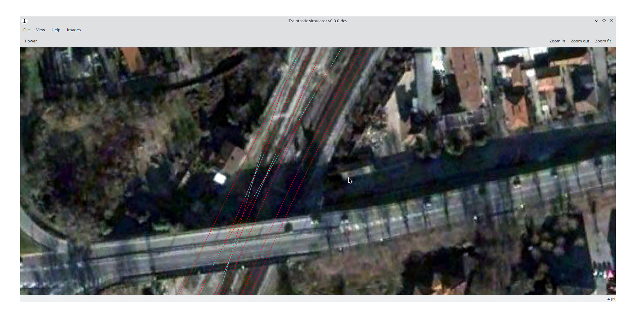
I started by editing traintastic-simulator code to allow image background, then I took some screenshot of google earth aerial imagery.
This was not ideal as the images where low quality and did not align precisely, so I downloaded Google Earth Desktop as it allows to export 8K images of chosen area.
This was much better and with few images I could cover the whole station.
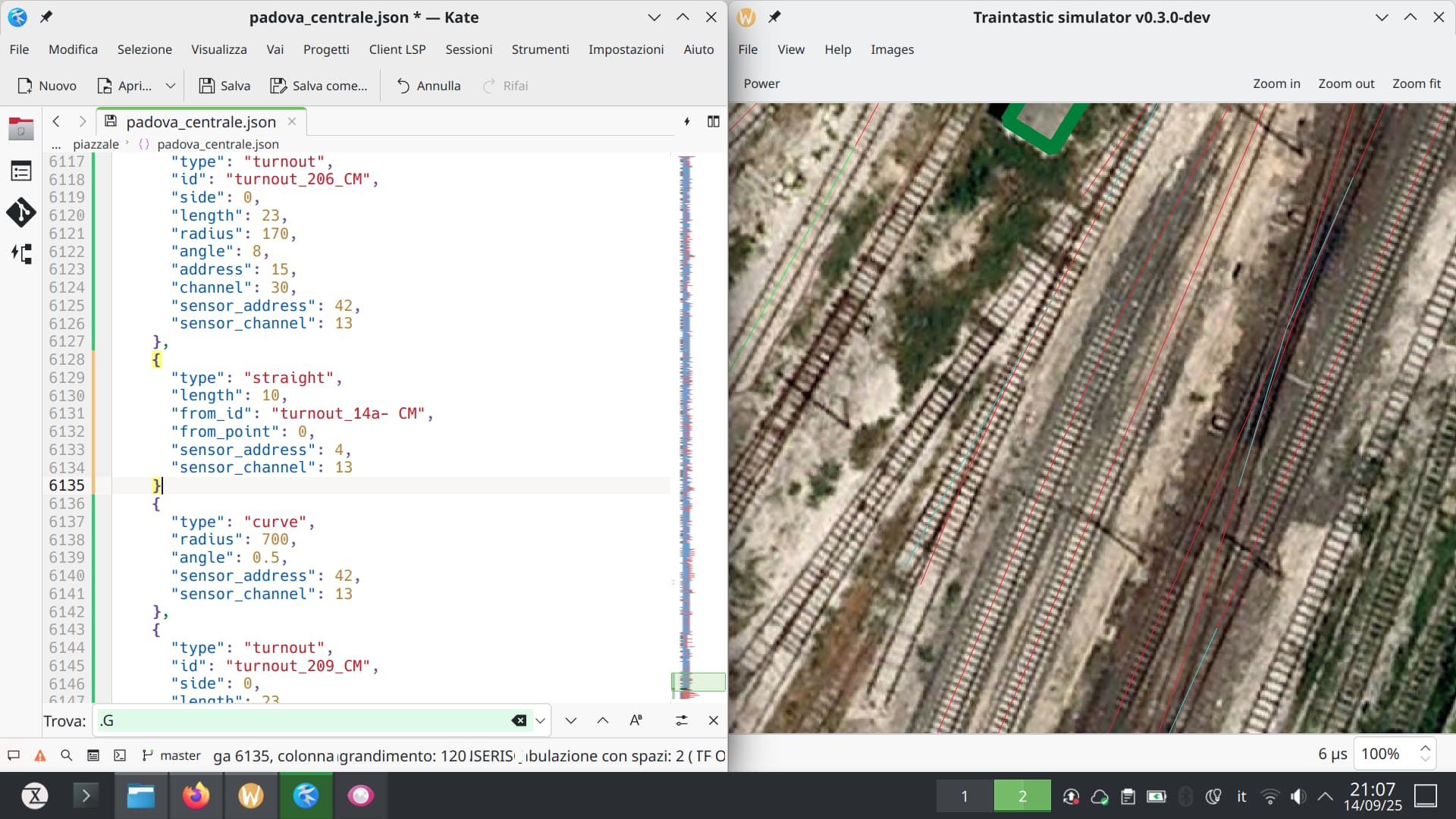
Then I carefully shape tracks on top of these images, this process takes time and is not yet completed!
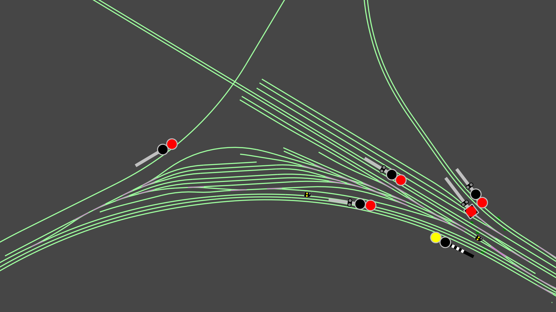
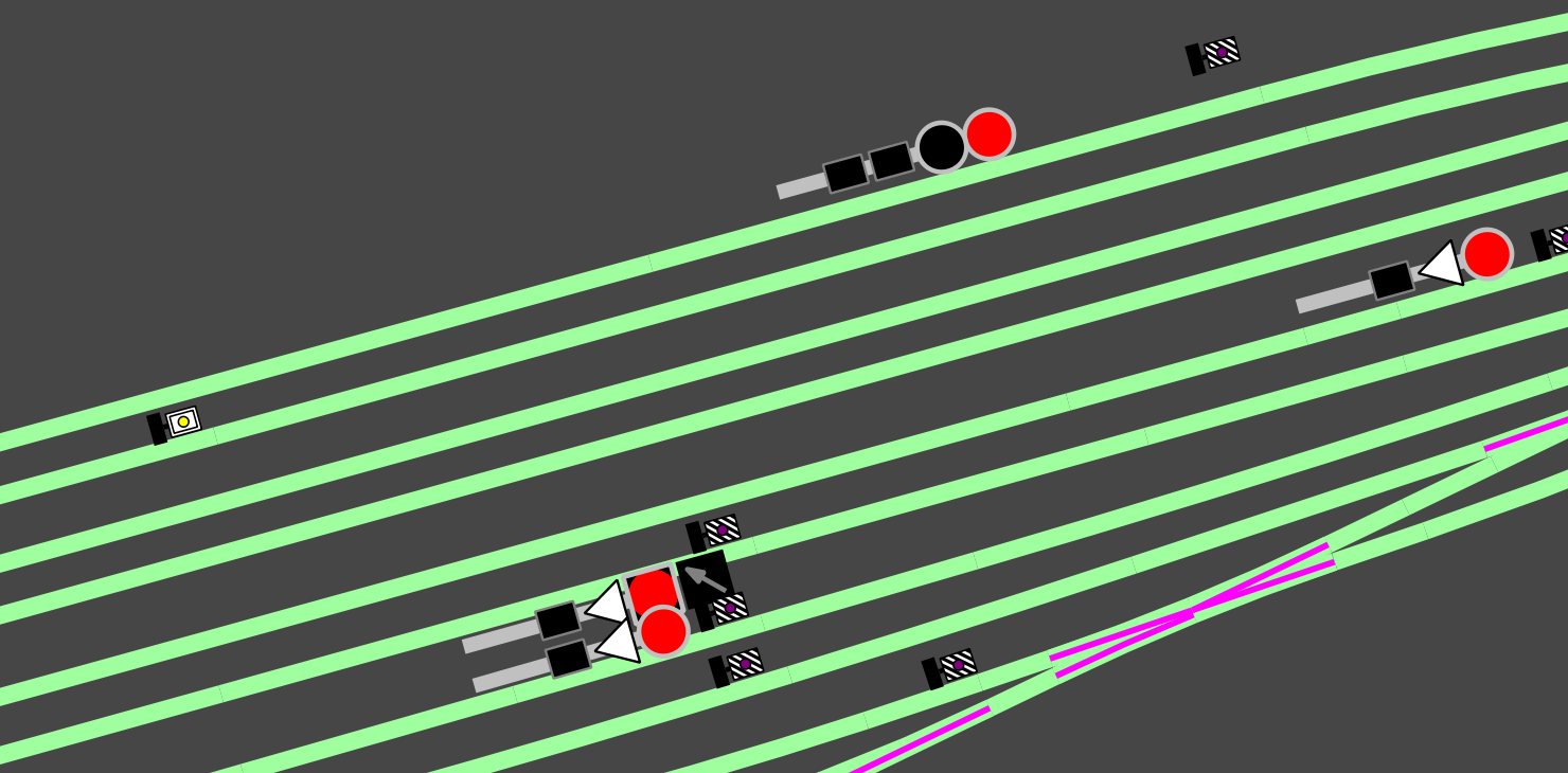
Now some screenshots of current state:

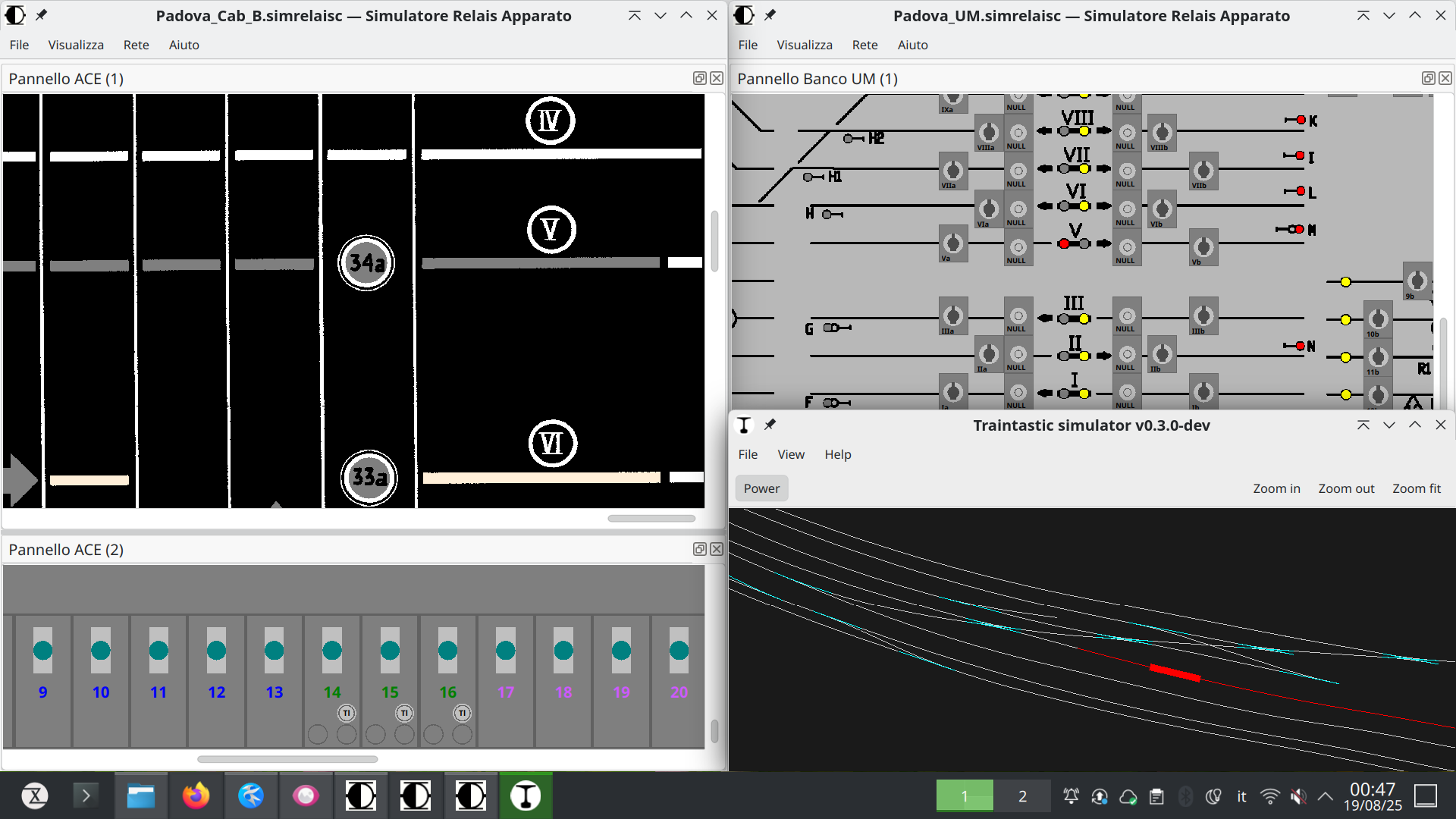
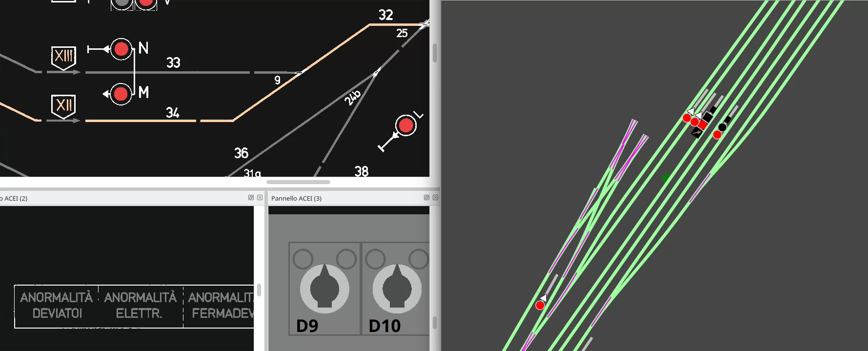
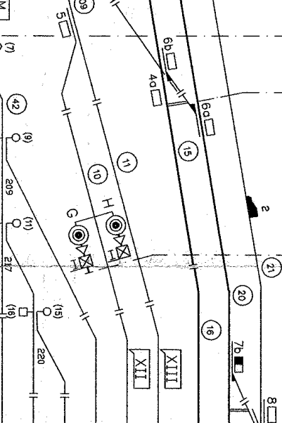
Luckily we have the schematic to help on reconstruct track circuits (you can recognize signals G and H on picture above):
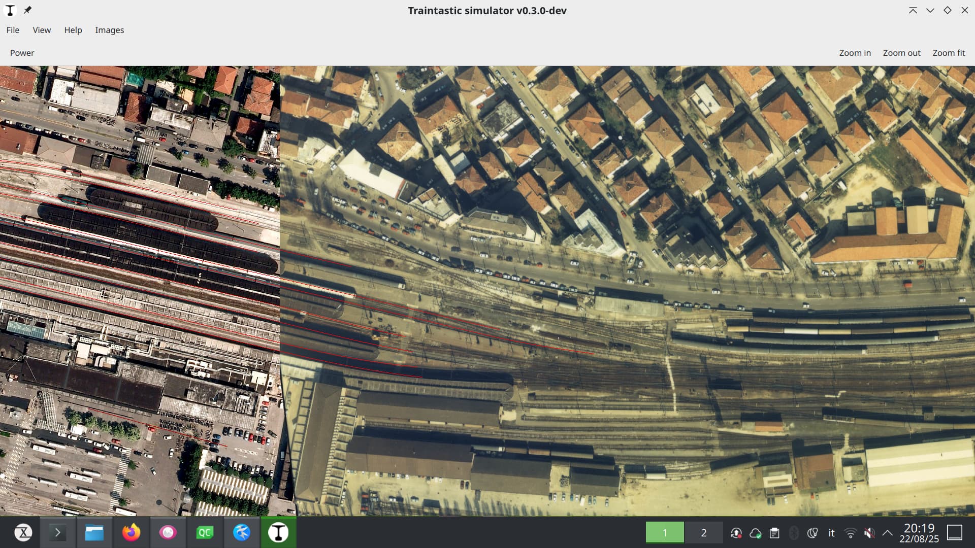
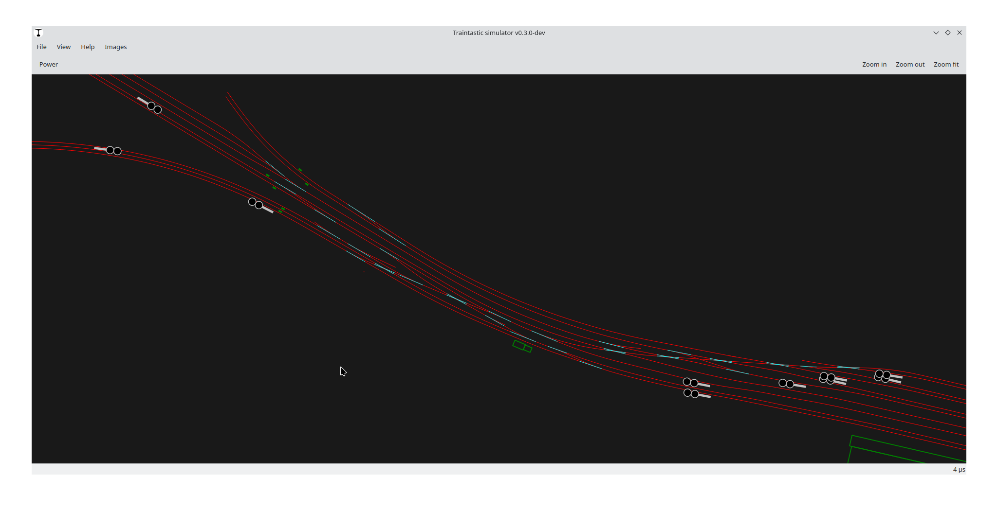
This is west part of central station, controlled by Signalbox A:
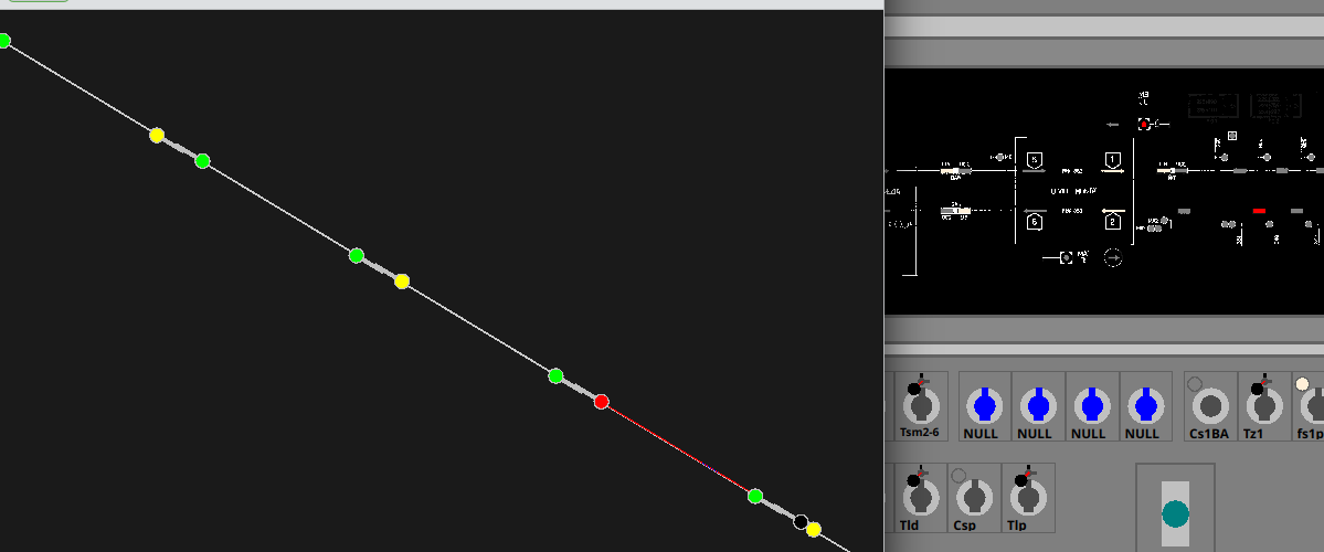
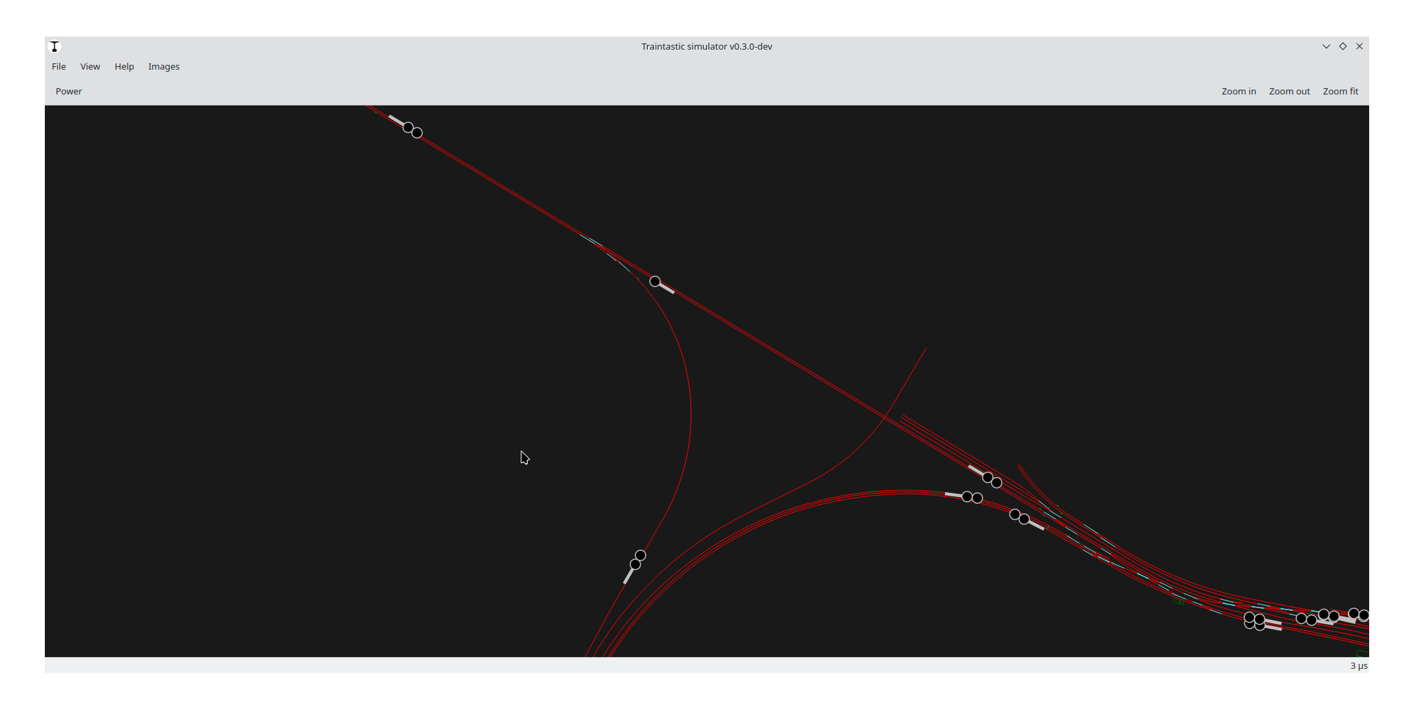
This is Montà junction and the triangle between Padova central station, Padova Campo di Marte and Milan direction:
Now the challenge is to connect simulator to physical relays using an Arduino and finishing to map the station layout.
Hope you enjoyed the topic!